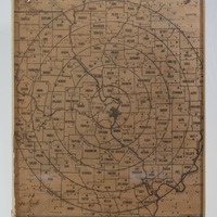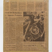
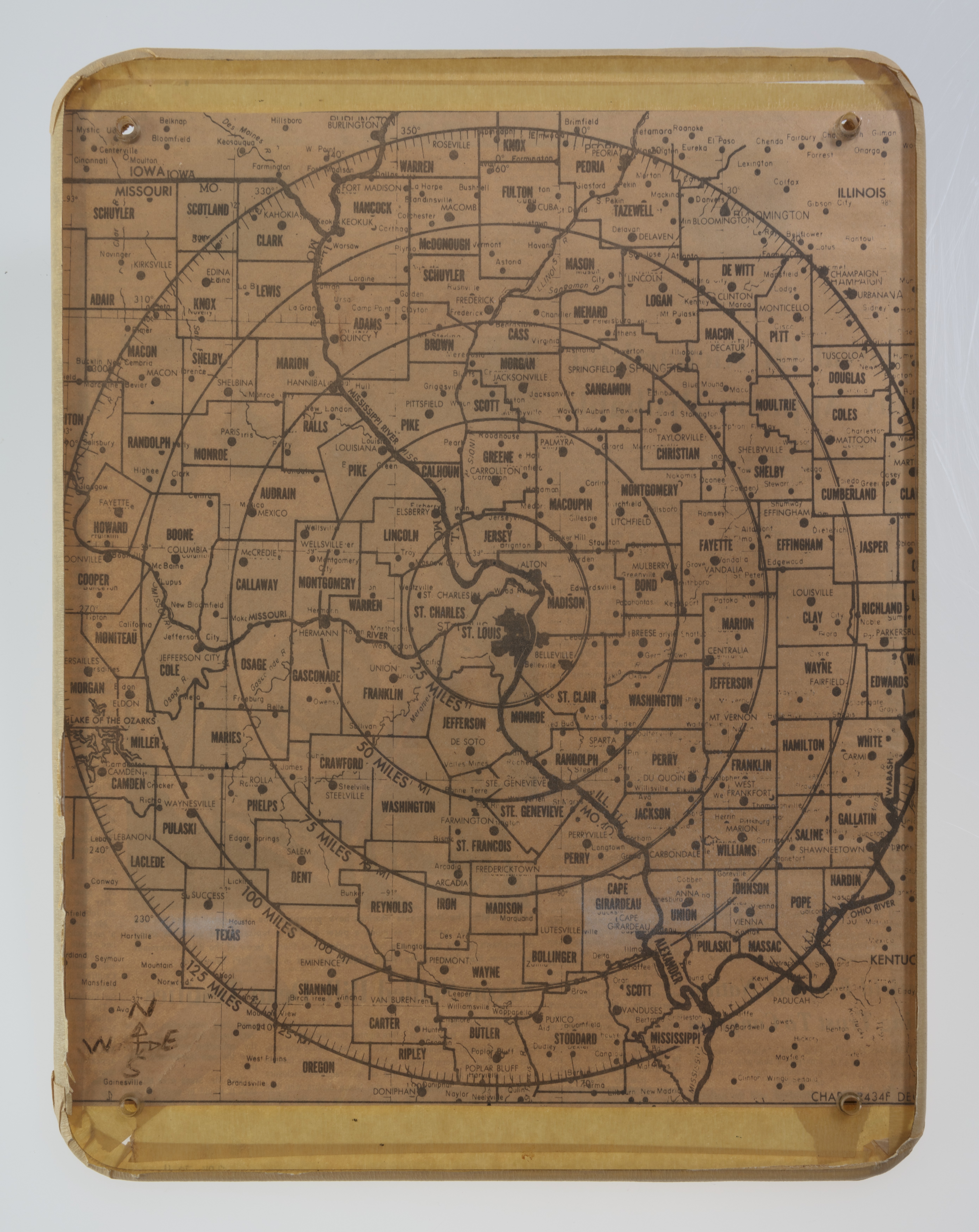
Distance Map Centered on St. Louis
- Item sets
- Cold War St. Louis
- Title
- Distance Map Centered on St. Louis
- Description
- This map was used by a St. Louis man as part of fallout shelter drills with his family. The map is based on the idea that a nuclear strike in the area would be targeted at the city of St. Louis, and the rings around the city indicate mileage from the city. Each ring formed a zone indicating a certain level of danger and radioactive fallout.
- Creator
- Carl Francis Fronckewicz
- Semester
- Spring 2026
- Subject
- Cold War
- Fallout Shelter
- Nuclear War
- Nuclear Weapons
- Radioactive Fallout
- Maps
- Temporal Coverage
- 1970 – 1979
- Spatial Coverage
- St. Louis
- St. Louis County
- Missouri
- Illinois
- Language
- English
- Medium
- Object
- Format
- jpg
- Date
- 1973
- Is Part Of
- MHS Objects Collection
- Identifier
- 2016-070-0011
- Explanation of Omeka Map Location
- The pin drop represents the central point of the map.